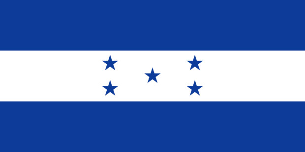
Country information of Honduras

We need your approval!
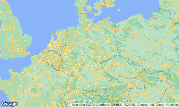
This website uses Google Maps to integrate maps. Please note that your personal data can be recorded and collected in this way. To see the Google Maps map, please allow it to be loaded from the Google server.
Geography Honduras
Highest point : Cerro Las Minas 2.870 m
